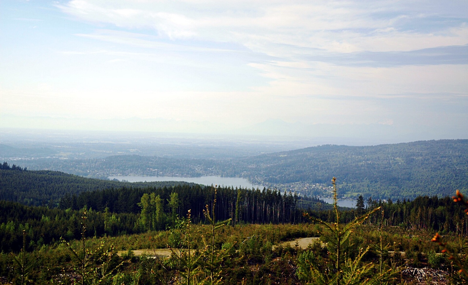
Compare Galbraith, Chuckanut and other Bellingham riding areas before you head out. Find the right part of town, check the current dirt conditions and follow the local trail notices.
One rainy city, several different rides
Forest cover is common around Bellingham, but the terrain and weather response still vary between networks. A Galbraith estimate does not stand in for Chuckanut or Lookout Mountain. Use the comparisons to choose an area, then check the local notices.
Across the 6 networks Loam tracks here, elevation spans 1,634 feet and canopy runs from 81 to 86 percent. These measurements describe representative network points, not the full elevation range of every trail. Compare the individual forecasts and check local reports before choosing a ride.
Elevation range525 to 2,159 ft
Canopy range81 to 86%
Most shadedLookout Mountain, 86%
Most exposed3 networks, 81%
Tracked networks6
A season by season read
Planning patterns, not opening dates. Live conditions and official access decide the day.
SpringWet ground and thawing patches can persist under trees. Check the trail itself and avoid riding through soft sections.
SummerDry weather can produce dust and loose surfaces. Working-forest operations and fire restrictions still need a separate check.
FallRain and fallen leaves can change grip as daylight shortens. Recheck conditions at the network you plan to ride.
WinterStorm damage, snow and freezing can affect access even when lower parts of town look clear. Follow local closures and do not treat a model as a trail inspection.
FAQ
Are Bellingham mountain bike trails rideable right now?
6 of 6 networks around Bellingham currently have a PRIME or DUSTY verdict, meaning rideable conditions. Check the network page for details and closure notices.
Which Bellingham trails are riding best today?
Rideable options around Bellingham include Blanchard State Forest (PRIME, firm, rideable conditions), Chuckanut Mountain (PRIME, firm, rideable conditions) and Galbraith Mountain (PRIME, firm, rideable conditions).
Can I ride Galbraith Mountain after rain?
Check the current Galbraith estimate, WMBC notices and conditions on the ground. A rideable model does not account for every blocked trail or active forestry operation. Avoid soft tread that ruts under your tires.
Where should I start mountain biking in Bellingham?
Use the riding-area map to compare Galbraith, Lake Padden, Chuckanut/Blanchard and Lake Whatcom/Lookout. For Galbraith routes and difficulty, use WMBC's trail map rather than treating the regional conditions map as navigation.
Does a green verdict mean every trail is open?
No. Loam models environmental riding conditions at each network. Land-manager restrictions, trail directions and closures remain authoritative.
How often are Bellingham trail conditions updated?
Loam updates condition estimates hourly. Each network page shows when its estimate was last updated.
What are these conditions based on?
Loam uses recent rain, soil, slope, slope direction, tree cover, and current weather to estimate how wet the ground is. These are estimates, not rider reports. Official closures take priority. See how the model works.
 Loam
Loam