Marin and the North Bay
Marin riding spans forested slopes, open ridges and bayside parks. Trail access changes between land managers; use the posted bike routes rather than assuming every footpath is open.
43 to 1,211 ft42 to 78% canopy
 Loam
App StoreGoogle Play
Loam
App StoreGoogle Play
Best bets right now: Marin and the North Bay, Sonoma and Lake County, East Bay hills and 2 more.
15 of 38 networks rideable across 7 riding zones
Rideable means PRIME or DUSTY. These estimates use weather, soil, and terrain data. Check each network for details and closures.
Conditions modeled 12:49 UTC, Sep 20
Find mountain biking around the Bay Area, then compare the dirt before choosing a trail. Start with a riding area to separate coastal forests, inland hills and farther destinations.
Dots are trail locations. Numbered groups zoom to nearby networks.
Map geometry © OpenStreetMap contributors · Elevation contours: NASA SRTM via OpenTopoData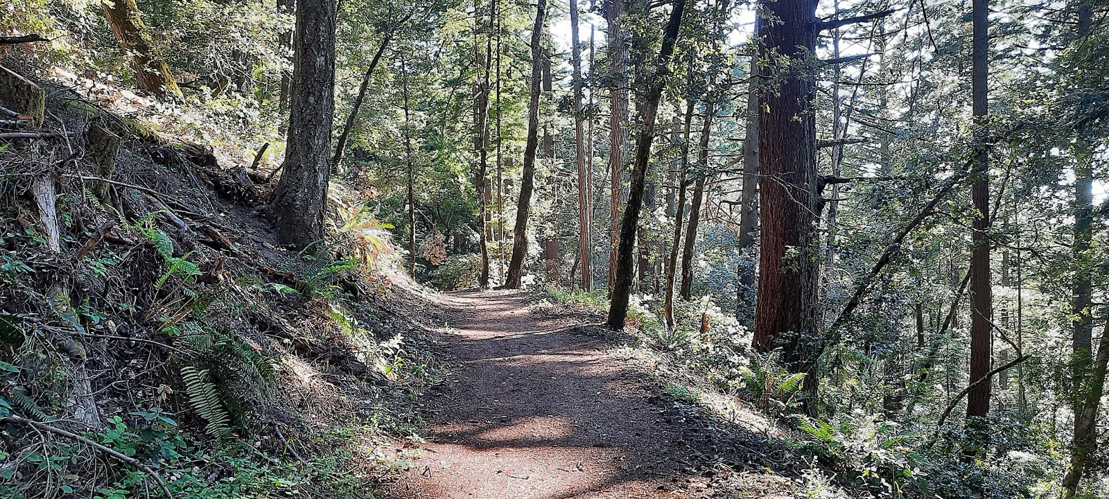
Ordered by current verdict, with matching verdicts listed alphabetically. Official closures take priority.
38 of 38 networks shown
Find your trail in Loam and turn on alerts. Watch one network free. No account needed.


A Bay Area weather forecast is not a trail forecast. The coast, redwood forests and exposed inland slopes respond differently to a passing storm. Compare the network you intend to ride, then check the land manager for access.
Across the 38 networks Loam tracks here, elevation spans 3,117 feet and canopy runs from 0 to 84 percent. These measurements describe representative network points, not the full elevation range of every trail. Compare the individual forecasts and check local reports before choosing a ride.
The useful unit here is the riding zone. Each one has its own exposure, elevation, and weather response.
Marin riding spans forested slopes, open ridges and bayside parks. Trail access changes between land managers; use the posted bike routes rather than assuming every footpath is open.
Annadel and Boggs Mountain are separate destinations north of Marin. Check each park independently, particularly after storms or during fire restrictions.
Lagoon Valley, Lynch Canyon and Rockville Hills are in Solano County. Open hills and pockets of tree cover make for a different setting from the coastal forests.
Choose a park before choosing a route in the East Bay. Bike access varies between park roads and singletrack, and shaded canyons can behave differently from open hillsides after rain.
The Peninsula combines wooded trails near Skyline Boulevard with coastal ridges. Skeggs is another name used for El Corte de Madera; the two catalog entries describe the same preserve, not two separate destinations.
Calero, Santa Teresa and Henry Coe offer separate riding areas south of San Jose. Lake Cunningham is a purpose-built bike park with its own operating rules, so check its schedule before a visit.
These are destinations south of the central Bay Area, not adjoining trailheads. Compare Soquel Demonstration Forest, Wilder Ranch and Fort Ord separately. At Big Basin, confirm the current bike-access map and recovery closures before planning a route.
Planning patterns, not opening dates. Live conditions and official access decide the day.
Rain and drying alternate. Look for remaining wet tread beneath trees even when open slopes look dry.
Inland rides can be hot and dusty while coastal areas remain cooler. Tree cover is a useful comparison, not a promise of comfortable temperatures.
The first rain can change loose, dry surfaces quickly. Check the recent rain and current model for the individual network.
Rain, short days and soft ground can narrow the riding window. Respect wet-weather closures and avoid leaving ruts.
A modeled rideable verdict does not open a closed trail or make a hiking-only route bike legal. Check current park maps, posted restrictions and any permit requirements before you ride.
Midpen preserve maps and closures · East Bay Regional Parks · California State Parks
Trail work around Bay Area is done by Bicycle Trails Council of the East Bay, Friends of China Camp, Friends of Tamarancho, Mount Diablo Interpretive Association and Solano Land Trust. Support your local builders.
15 of 15 networks around Bay Area currently have a PRIME or DUSTY verdict, meaning rideable conditions. For example, Big Basin Redwoods State Park is PRIME and Lake Cunningham Bike Park is DUSTY. Check the network page for details and closure notices.
Rideable options around Bay Area include Big Basin Redwoods State Park (PRIME, firm, rideable conditions), Boggs Mountain (PRIME, firm, rideable conditions) and Bolinas Ridge (PRIME, firm, rideable conditions).
Compare current network conditions, then use the riding-area filter to narrow the options. A coastal forest and an inland hillside may dry differently; no park is guaranteed to be rideable after every storm. Official closures take priority.
Skeggs is a commonly used name for riding at El Corte de Madera Creek Preserve. Loam currently has two catalog entries, but they are not two separate riding destinations.
Yes. They appear as a separate riding area so you can compare farther destinations without treating them as adjoining Bay Area trailheads.
Loam updates condition estimates hourly. Each network page shows when its estimate was last updated.
Loam uses recent rain, soil, slope, slope direction, tree cover, and current weather to estimate how wet the ground is. These are estimates, not rider reports. Official closures take priority. See how the model works.