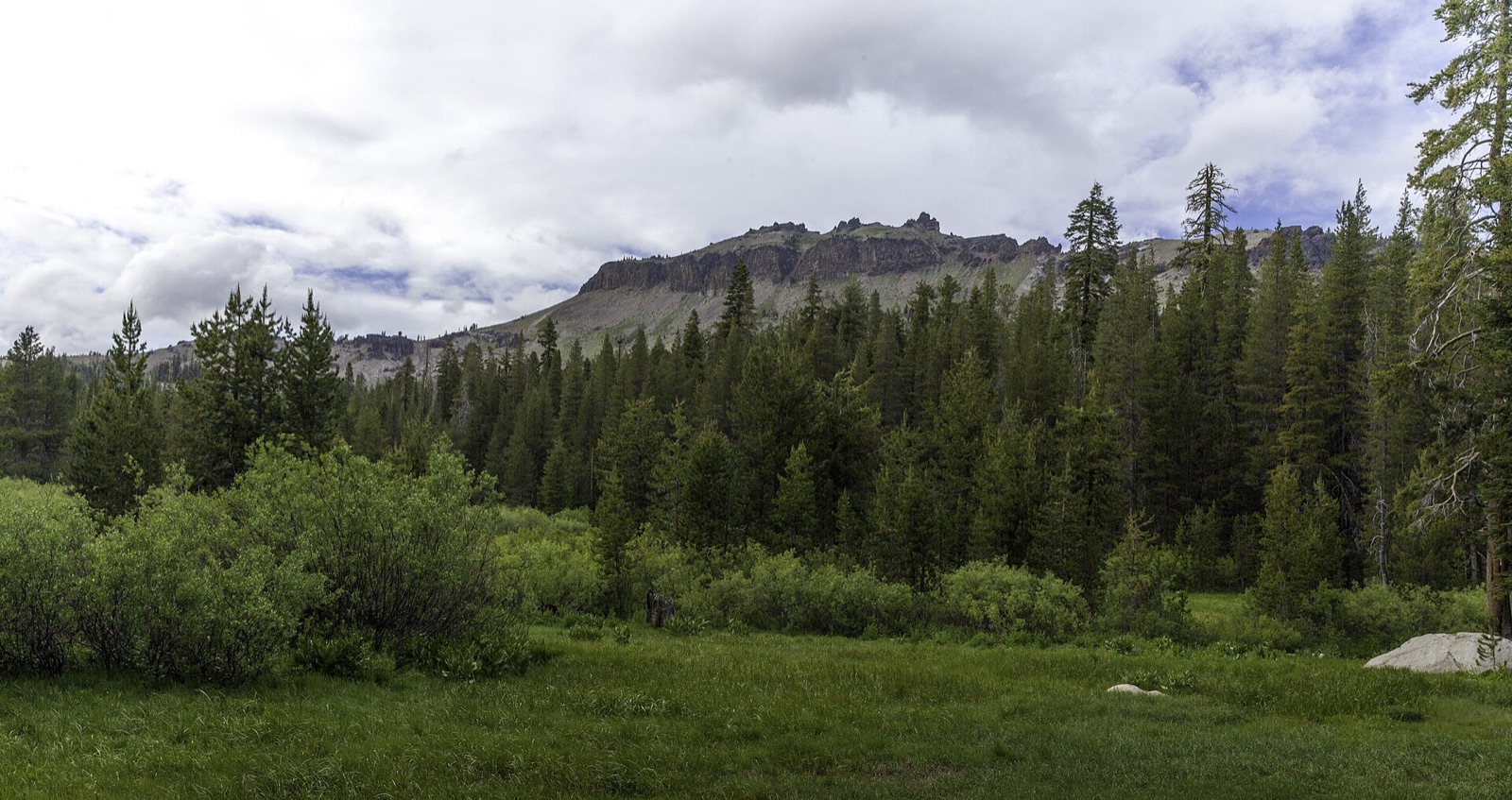
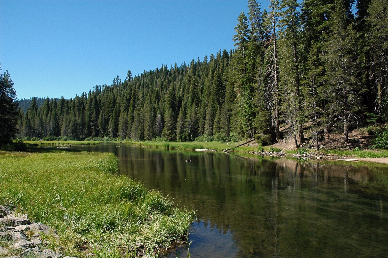
Compare Tahoe and Truckee conditions with lower Sierra foothill alternatives. Elevation, snow and access matter as much as the forecast when choosing where to mountain bike.
The Tahoe/Truckee entry is one modeled location, not a report for every trail around the lake. Northstar has its own bike park forecast. The other entries below are separate Sierra foothill destinations. Use TAMBA for individual Tahoe trail reports.
Find your trail in Loam and turn on alerts. Watch one network free. No account needed.
A clear foothill trail does not mean Tahoe is clear
The Sierra rises sharply above the foothills. Snow cover and freezing can persist around higher trails while lower destinations are dry. Keep basin reports, foothill alternatives and road access separate when planning a ride.
Across the 8 networks Loam tracks here, elevation spans 6,598 feet and canopy runs from 0 to 62 percent. These measurements describe representative network points, not the full elevation range of every trail. Compare the individual forecasts and check local reports before choosing a ride.
Elevation range568 to 7,166 ft
Canopy range0 to 62%
Most shadedDeer Creek Trail System, 62%
Most exposedRed Hills, 0%
Tracked networks8
Mountain biking around Tahoe & Truckee
The useful unit here is the riding zone. Each one has its own exposure, elevation, and weather response.
Northstar Bike Park
Northstar is a separate lift-served bike park near Truckee. This forecast represents its resort bike trails, including Mineshaft. See Northstar for tickets and trail maps.
6,523 ft50% canopy
Trail example: Mineshaft. Example, not a complete inventory.
Start here for the current model at Loam's Tahoe/Truckee location. It cannot describe every elevation or shore of the lake. Use TAMBA's individual trail reports to plan a specific basin ride.
Auburn, Cronan Ranch and Folsom Lake are lower-elevation destinations west of Tahoe. They are alternatives on a regional trip, not parts of the Tahoe trail network.
Red Hills is well south of Tahoe near Chinese Camp. It is included as a farther foothill alternative, with its own trip planning and seasonal conditions.
Visiting Tahoe & Truckee? Where to ride in one day or three
Choose one riding area when time is short. With three days, keep the order flexible around weather, access and your group's ability. Use the linked maps to choose routes; a favorable forecast does not override a closure.
If you have one day
Choose one basin base first. For lift-served downhill near Truckee, Northstar is a distinct resort with a live lift and trail-status page; for non-lift singletrack, use TAMBA's area guide to find a candidate on the side where you are staying.
For the Tahoe Rim Trail, treat each segment separately. TRTA advises bikes on the Tahoe Meadows to Tunnel Creek segment only on even-numbered dates, and prohibits bikes on other named segments; confirm the exact segment and current notices.
Plan around elevation and access: snow, construction, or weather can affect a high-basin plan. Keep an alternative in the same part of the basin and verify it with its manager.
Choose a TAMBA-listed basin trail on the side of your lodging for a non-lift day, then verify access with its land manager. TAMBA's guide distinguishes areas such as South Lake Tahoe and Truckee; the model pin is not a route map.
Choose Tahoe Meadows to Tunnel Creek only if you can follow TRTA's even-date recommendation for that exact segment. Otherwise swap in another manager-confirmed legal option; do not generalize this rule to the whole TRT.
Planning patterns, not opening dates. Live conditions and official access decide the day.
Spring
Snowmelt can keep high terrain inaccessible while lower foothill rides become possible. Check trail-specific reports instead of using a calendar opening date.
Summer
Higher trails become options as snow clears. Check smoke, fire restrictions and individual trail access before committing to a route.
Fall
Shorter days and freezing nights can change a riding window quickly. Higher terrain may receive snow before the foothills.
Winter
Do not infer snow-free trails from a dry model reading. Check snow coverage, winter road access and local restrictions; compare foothill destinations separately.
TAMBA publishes Tahoe trail reports with Trailforks. The Tahoe Rim Trail has sections where bicycles are prohibited and others with day restrictions. A regional model is not a snow survey or an access permit.
Are Tahoe & Truckee mountain bike trails rideable right now?
8 of 8 networks around Tahoe & Truckee currently have a PRIME, DRY or DUSTY verdict, meaning rideable conditions. Check the network page for details and closure notices.
Which Tahoe & Truckee trails are riding best today?
Rideable options around Tahoe & Truckee include Auburn State Recreation Area (DRY, rideable and dry), Cronan Ranch Regional Trails Park (DRY, rideable and dry) and Deer Creek Trail System (DRY, rideable and dry).
How should I plan a trip around changing trail conditions?
This regional conditions page cannot establish that every trail is snow free. Check TAMBA and Tahoe Rim Trail reports for the route and elevation you intend to ride. The Tahoe/Truckee model represents one location.
Where can I ride when Tahoe still has snow?
The map includes Auburn, Folsom, Cronan Ranch and other separate foothill destinations. Compare their own conditions and official access; lower elevation is not a guarantee of dry or open trails.
Can I mountain bike the entire Tahoe Rim Trail?
No. Bicycles are prohibited on some sections, including wilderness and Pacific Crest Trail segments. Check the Tahoe Rim Trail Association's current rules for your exact route.
How often are Tahoe & Truckee trail conditions updated?
Loam updates condition estimates hourly. Each network page shows when its estimate was last updated.
What are these conditions based on?
Loam uses recent rain, soil, slope, slope direction, tree cover, and current weather to estimate how wet the ground is. These are estimates, not rider reports. Official closures take priority. See how the model works.
 Loam
Loam