Find your trail in Loam and turn on alerts. Watch one network free. No account needed.
How conditions vary around Sedona
This page includes sandstone trails around Sedona, open ground toward the Verde Valley, and forested Mingus Mountain above Jerome and Cottonwood. Those areas differ in elevation, shade, and weather. Snow can remain on Mingus when trails around town are dry.
Across the 11 networks Loam tracks here, elevation spans 3,927 feet and canopy runs from 0 to 44 percent. These measurements describe representative network points, not the full elevation range of every trail. Compare the individual forecasts and check local reports before choosing a ride.
Elevation range3,816 to 7,743 ft
Canopy range0 to 44%
Most shadedMingus Mountain, 44%
Most exposedBlowout Wash, 0%
Tracked networks11
Mountain biking around Sedona
The useful unit here is the riding zone. Each one has its own exposure, elevation, and weather response.
Adobe Jack & Soldier Wash
Adobe Jack and Soldier Wash share much of the same trail system, from Highway 89A toward Oak Creek. The Red Rock Ranger District manages the land. Check parking pass requirements at your trailhead.
4,364 to 4,610 ft26 to 27% canopy
Trail examples: Adobe Jack Trail, Jordan, Tea Cup Trail, Soldier Pass Trail, Grand Central Trail. Examples, not a complete inventory.
The Village of Oak Creek area includes Bell Rock, Slim Shady, Templeton, and the expert-level Hiline Trail. It is managed by the Red Rock Ranger District.
Mingus Mountain is above Jerome and Cottonwood in the Prescott National Forest's Verde Ranger District. Expect ponderosa forest and mountain weather, with different closures from Sedona.
Planning patterns, not opening dates. Live conditions and official access decide the day.
Spring
Trails around Sedona can be dry while Mingus Mountain still has snow and mud. Check the elevation and condition of your ride.
Summer
Monsoon storms can cause sudden runoff in washes. Low crossings may stay wet after the rest of a trail dries.
Fall
Cooler temperatures return around Sedona. Higher trails on Mingus Mountain can get winter weather earlier.
Winter
Watch for ice and occasional snow around town. Check Prescott National Forest notices for winter road and facility access on Mingus Mountain.
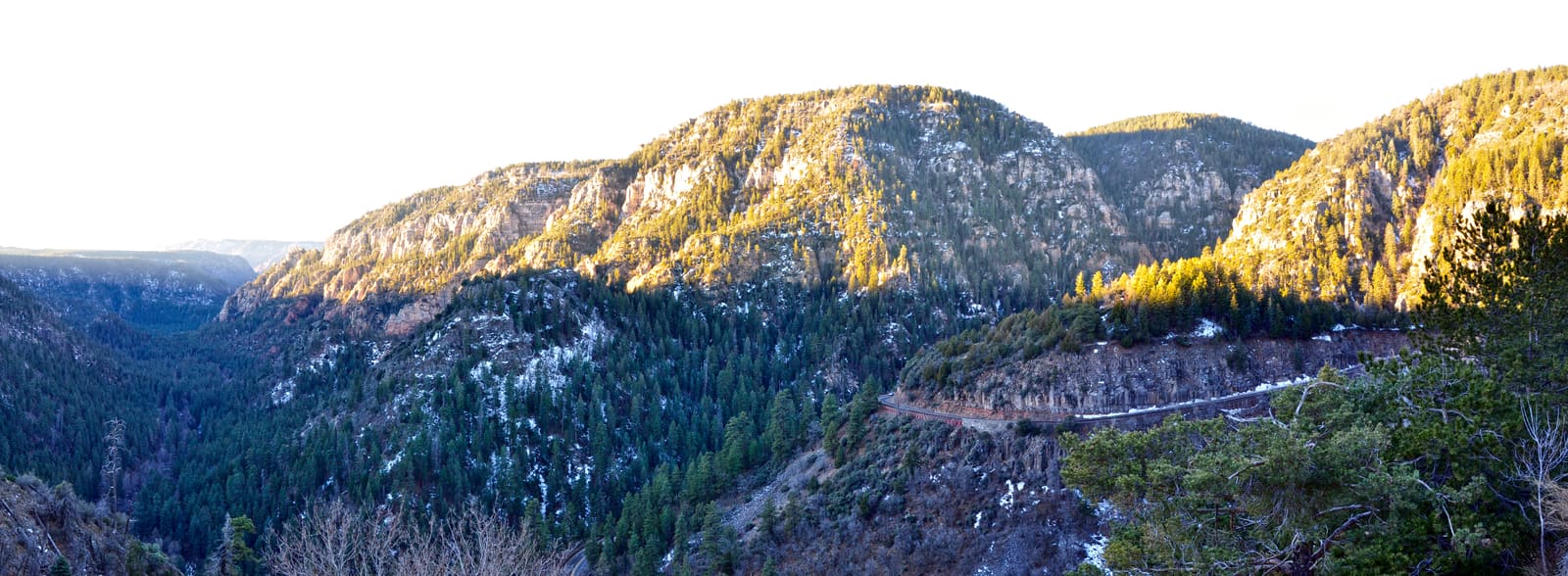
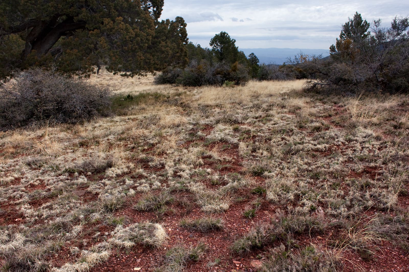
Mingus Mountain terrain, a separate range above Jerome, well outside Sedona's red rock basin. Photo: Patrick Alexander, public domain · Cropped for display.
Check official closures
Check the Coconino National Forest's Red Rock Ranger District and the Prescott National Forest for closures. Some Red Rock trailheads require a parking pass. Dry ground does not override an official closure.
Are Sedona mountain bike trails rideable right now?
11 of 11 networks around Sedona currently have a PRIME or DUSTY verdict, meaning rideable conditions. Check the network page for details and closure notices.
Which Sedona trails are riding best today?
Rideable options around Sedona include Adobe Jack (PRIME, firm, rideable conditions), Bell Rock Area (PRIME, firm, rideable conditions) and Blowout Wash (PRIME, firm, rideable conditions).
What are Sedona mountain bike trail conditions right now?
Check the network list above for current estimates at 11 networks. Conditions around town can differ from those on Mingus Mountain.
Where should I ride in Sedona after it rains?
Check the network you plan to ride and any Forest Service notices. Sandstone can dry before nearby clay pockets and low crossings. Wait if the tread is soft or a wash is running.
What is the best season for mountain biking in Sedona?
Spring and fall often have comfortable riding temperatures around Sedona. Summer brings heat and monsoon storms. Check snow and winter access separately for Mingus Mountain.
Is the Hiline Trail rideable after rain?
Check the Village of Oak Creek page for a network condition estimate. It does not give a separate estimate for Hiline, which is an expert-level trail. Dry ground does not make the technical riding easier.
Does a rideable verdict mean the trail is open?
No. Closures from the Coconino or Prescott National Forest take priority over the estimate.
Why does Mingus Mountain ride differently than the rest of Sedona?
Mingus Mountain is a higher, forested riding area above Jerome and Cottonwood. It can hold snow and damp ground after the sandstone trails around Sedona have dried. Check its weather and access notices separately.
How often are Sedona trail conditions updated?
Loam updates condition estimates hourly. Each network page shows when its estimate was last updated.
What are these conditions based on?
Loam uses recent rain, soil, slope, slope direction, tree cover, and current weather to estimate how wet the ground is. These are estimates, not rider reports. Official closures take priority. See how the model works.
 Loam
Loam