Corner Canyon
Corner Canyon is a distinct riding destination above Draper. Check Draper's trail-condition map and the Corner Canyon Trails Foundation before choosing a route, especially during wet weather or thawing.
5,863 ft36% canopy
 Loam
App StoreGoogle Play
Loam
App StoreGoogle Play
Every zone is rideable right now.
7 of 10 networks rideable across 6 riding zones
Rideable means PRIME or DUSTY. These estimates use weather, soil, and terrain data. Check each network for details and closures.
Conditions modeled 14:18 UTC, Sep 20
Compare mountain bike conditions around Salt Lake City, from Corner Canyon and the foothills to Mill Creek and higher Wasatch terrain. Check both the dirt and the route's access rules before riding.
66% canopy, the most tree cover among currently rideable networks.
About 7 hours until rideable, based on the current drying estimate.
Dots are trail locations. Numbered groups zoom to nearby networks.
Map geometry © OpenStreetMap contributors · Elevation contours: NASA SRTM via OpenTopoData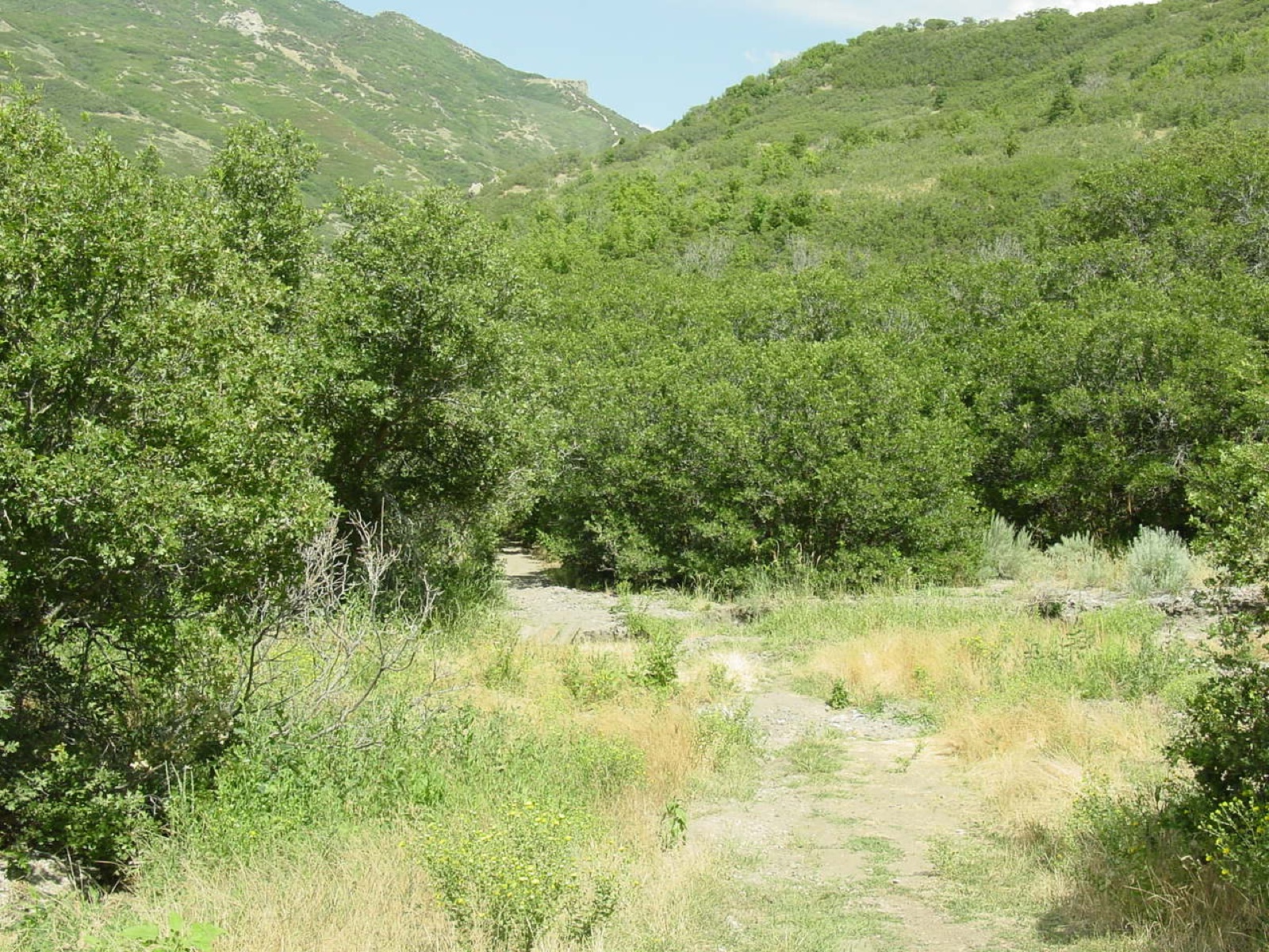
Ordered by current verdict, with matching verdicts listed alphabetically. Official closures take priority.
10 of 10 networks shown
Find your trail in Loam and turn on alerts. Watch one network free. No account needed.


A clear trail near the valley does not establish conditions along the Wasatch Crest. Elevation, exposure and the latest weather can produce different riding windows. Compare the network itself and confirm the access rules for your route.
Across the 10 networks Loam tracks here, elevation spans 3,901 feet and canopy runs from 0 to 66 percent. These measurements describe representative network points, not the full elevation range of every trail. Compare the individual forecasts and check local reports before choosing a ride.
The useful unit here is the riding zone. Each one has its own exposure, elevation, and weather response.
Corner Canyon is a distinct riding destination above Draper. Check Draper's trail-condition map and the Corner Canyon Trails Foundation before choosing a route, especially during wet weather or thawing.
Bobsled sits in Salt Lake City's foothill trail system. Use the city trail map to plan a legal route and follow posted trail directions.
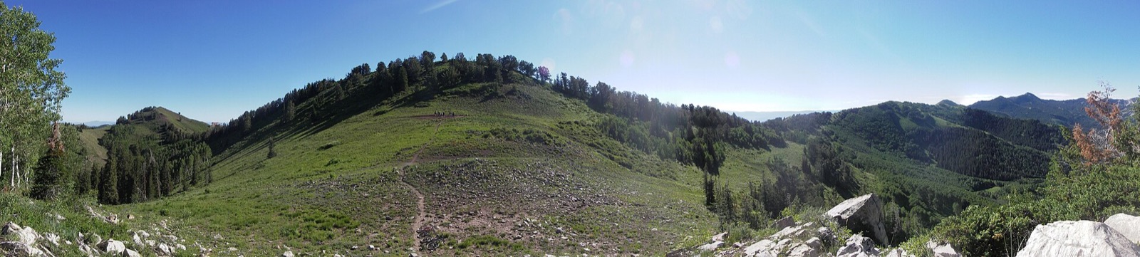
Mill Creek and the Wasatch Crest combine separate elevations and access points. Upper-canyon bicycle day restrictions and seasonal road access matter when planning a route; check the Forest Service before you go.
Solitude, Burnt Ridge and Hobble Creek are separate mountain destinations. Resort operations and mountain access should be checked independently of the regional conditions model.
Antelope Island is a separate state-park trip in Great Salt Lake. Its open landscape and park access rules differ from the Wasatch canyons.
Wood Hill is near Price, well outside the Salt Lake Valley. It appears as a separate destination rather than a nearby Salt Lake trailhead.
Planning patterns, not opening dates. Live conditions and official access decide the day.
Lower trails can be rideable while snowmelt and soft ground limit higher routes. Follow wet-weather closures and avoid thawing tread.
Exposed foothills can be hot and dusty. Higher terrain is a different choice only when the route is open and clear of snow.
Freezing nights and early snow can change mountain access before the valley. Check the route before making a shuttle or resort plan.
Snow and freeze-thaw can close the riding window. Frozen ground may soften during the day; a regional verdict does not replace a trail or road report.
Consult Draper for Corner Canyon conditions and the Forest Service for Mill Creek restrictions. Resort trails and Antelope Island have separate operating rules. A modeled rideable verdict does not override a closure, day restriction or seasonal opening.
Corner Canyon conditions · Forest Service: Mill Creek Canyon · Salt Lake City foothill trails
Trail work around Salt Lake City is done by Corner Canyon Trails Foundation and Solitude Mountain Resort. Support your local builders.
7 of 10 networks around Salt Lake City currently have a PRIME or DUSTY verdict, meaning rideable conditions. For example, Antelope Island is PRIME and Wasatch Crest is STAY OFF. Check the network page for details and closure notices.
Rideable options around Salt Lake City include Antelope Island (PRIME, firm, rideable conditions), Bobsled (PRIME, firm, rideable conditions) and Burnt Ridge (PRIME, firm, rideable conditions).
Open the Corner Canyon network for its current modeled conditions, then check Draper's official trail-condition map. Wet-weather closures and trail restrictions take priority over the model.
Do not assume that every trail allows bicycles every day. Upper-canyon restrictions and seasonal road access affect route planning. Check the Forest Service's current rules for the exact trail.
This page compares Loam's listed Salt Lake and Wasatch networks. It is not a complete Park City trail inventory, and a Wasatch Crest estimate should not be applied to every Park City ride.
Loam updates condition estimates hourly. Each network page shows when its estimate was last updated.
Loam uses recent rain, soil, slope, slope direction, tree cover, and current weather to estimate how wet the ground is. These are estimates, not rider reports. Official closures take priority. See how the model works.