Find your trail in Loam and turn on alerts. Watch one network free. No account needed.
How conditions vary around Moab
A Moab ride can cross slickrock, sand, and clay, each drying at a different speed. Higher mesas also get different weather from the valley floor. Fruita and Grand Junction, about 100 miles east in Colorado, are separate destinations.
Across the 11 networks Loam tracks here, elevation spans 1,889 feet and canopy runs from 0 to 10 percent. These measurements describe representative network points, not the full elevation range of every trail. Compare the individual forecasts and check local reports before choosing a ride.
Elevation range4,000 to 5,889 ft
Canopy range0 to 10%
Most shadedDead Horse Point State Park, Moab Bike Park, 10%
Most exposed9 networks, 0%
Tracked networks11
Mountain biking around Moab
The useful unit here is the riding zone. Each one has its own exposure, elevation, and weather response.
Slickrock and Sand Flats
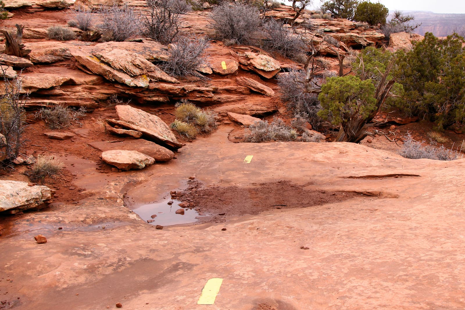
Slickrock is in Sand Flats Recreation Area, managed jointly by Grand County and the BLM. Sandy connectors between the sandstone sections can stay soft after the rock dries.
4,613 ft0% canopy
Trail examples: Slickrock Practice Loop, Above Abyss, Prospector, Hell's Route. Examples, not a complete inventory.
Bar M and Moab Brand Trails share a BLM trailhead off Highway 191. Beginner loops near the parking area lead to narrower, rockier trails farther out. Expect open terrain with little shade.
4,639 to 4,715 ft0% canopy
Trail examples: Bar M Loop, Deadman's Ridge, Circle-O, Rockin' A, Bar B. Examples, not a complete inventory.
Klondike Bluffs is on BLM land near the Arches National Park boundary. Trails cross slickrock with fossil dinosaur tracks. A connector leads toward Klonzo, which has no separate Loam network page.
4,813 ft0% canopy
Trail examples: EKG Trail, Dino Flow Trail, Jurassic Trail, Baby Steps Trail, Miner's Loop Trail. Examples, not a complete inventory.
Moab Bike Park, also called Anonymous Park, has dirt jumps and a pump track near Mill Creek Parkway. Check it as a bike park rather than using nearby desert trail conditions.
4,000 ft10% canopy
Features: dirt jump lines and a pump track. No named-trail inventory in the source data yet.
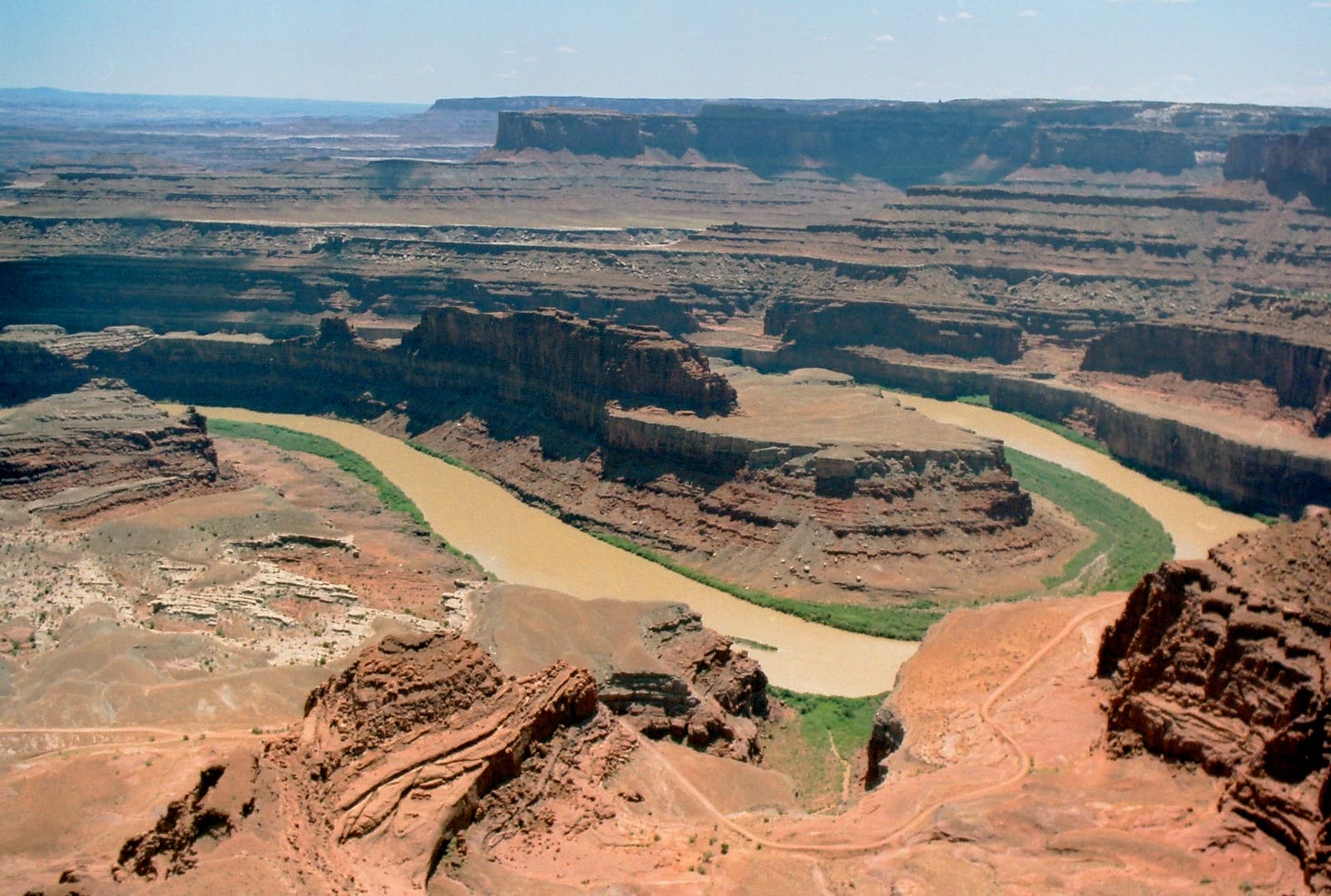
Dead Horse Point State Park's Intrepid Trail System follows the mesa rim above the Colorado River. Its elevation can bring colder weather than the valley floor.
5,889 ft10% canopy
Trail examples: Big Chief, Whiptail, Great Pyramid, Raven Roll. Examples, not a complete inventory.
Fruita and Grand Junction are about 100 miles from Moab in Colorado. 18 Road has flowing desert singletrack north of Fruita; Lunch Loops has technical rock gardens near Grand Junction.
4,712 to 5,082 ft0% canopy
Trail examples: Frontside, Zippity Doo Da, and Prime Cut at 18 Road; The Ribbon and Free Lunch at Lunch Loops. Examples, not a complete inventory.
Check the BLM Moab Field Office, Utah State Parks, and Sand Flats Recreation Area for closures and wet-trail advisories. Follow those notices even when Loam estimates rideable conditions.
11 of 11 networks around Moab currently have a PRIME or DUSTY verdict, meaning rideable conditions. Check the network page for details and closure notices.
Which Moab trails are riding best today?
Rideable options around Moab include Bar M (PRIME, firm, rideable conditions), Captain Ahab/Amasa Back (PRIME, firm, rideable conditions) and Dead Horse Point State Park (PRIME, firm, rideable conditions).
What are Moab mountain bike trail conditions like after a storm?
Open the network page for the current condition estimate and recent rain. Check land manager notices before riding.
Where should I ride in Moab after it rains?
Slickrock can dry before sandy connectors and clay pockets. Check the whole route, follow wet-trail advisories, and wait if the ground is soft.
Is the Whole Enchilada rideable after rain?
Loam does not currently cover Porcupine Rim or the Upper and Lower Porcupine singletrack. Check Sand Flats, a shuttle operator, or Grand County's trail report for the full descent. Conditions at Slickrock do not describe the whole route.
What is the best time of year to mountain bike in Moab?
Spring and fall generally offer cooler riding than summer. Check for spring rain, summer heat and storms, and winter snow or ice on higher trails.
Does rideable mean the trail is open?
No. Follow closures and advisories from the BLM, Utah State Parks, and Sand Flats Recreation Area.
Is this every trail in Moab?
Loam covers 11 networks on this page, including nearby Colorado destinations. The named trails are examples, not a complete list.
How often are Moab trail conditions updated?
Loam updates condition estimates hourly. Each network page shows when its estimate was last updated.
What are these conditions based on?
Loam uses recent rain, soil, slope, slope direction, tree cover, and current weather to estimate how wet the ground is. These are estimates, not rider reports. Official closures take priority. See how the model works.
 Loam
Loam