Find your trail in Loam and turn on alerts. Watch one network free. No account needed.
How conditions vary around Bend
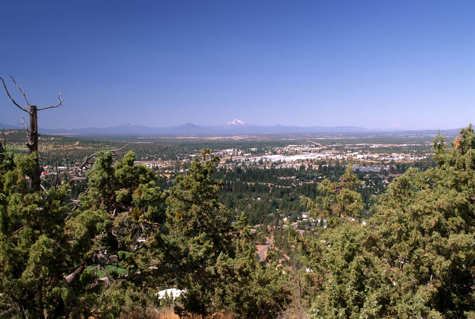
Bend's riding ranges from open high desert to shaded forest and high volcanic terrain. Rain, snow, and drying times vary across those areas. Grey Butte and Skull Hollow are farther north at Smith Rock, 26 miles from town.
Across the 13 networks Loam tracks here, elevation spans 3,675 feet and canopy runs from 0 to 64 percent. These measurements describe representative network points, not the full elevation range of every trail. Compare the individual forecasts and check local reports before choosing a ride.
Elevation range3,012 to 6,687 ft
Canopy range0 to 64%
Most shadedNewberry Crater, 64%
Most exposed3 networks, 0%
Tracked networks13
Mountain biking around Bend
The useful unit here is the riding zone. Each one has its own exposure, elevation, and weather response.
West Bend
Phil's Trail has rolling singletrack through ponderosa forest close to town. Tree cover shades the trail and can slow drying after rain.
3,983 ft53% canopy
Trail examples: Ben's, Kent's, KGB, Marvin's Garden, COD. Examples, not a complete inventory.
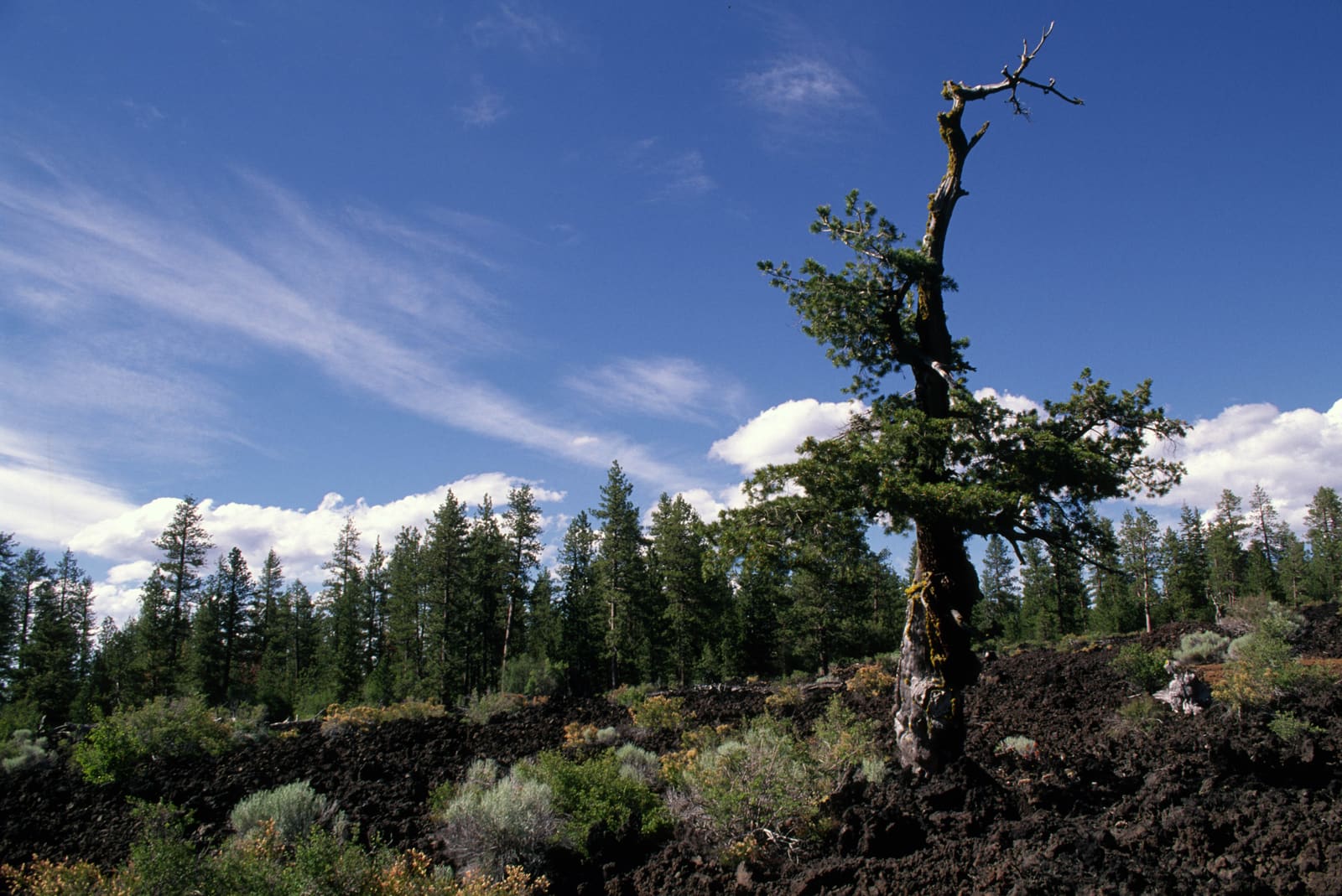
Newberry Crater is inside Newberry Volcano's caldera, south of Bend. Its high elevation means a shorter riding season and snow that can linger into warmer months.
Grey Butte and Skull Hollow are near Smith Rock, 26 miles north of Bend. Expect shared trails with horses and potentially deep mud after rain or snowmelt.
3,445 ft17% canopy
Trail examples: Burma Road, the Gray Butte Loop from Grasslands Campground.
13 of 13 networks around Bend currently have a PRIME or DUSTY verdict, meaning rideable conditions. For example, Cline Buttes is PRIME and Peterson Ridge Trails is DUSTY. Check the network page for details and closure notices.
Which Bend trails are riding best today?
Rideable options around Bend include Cline Buttes (PRIME, firm, rideable conditions), Grey Butte / Skull Hollow (PRIME, firm, rideable conditions) and Horse Butte (PRIME, firm, rideable conditions).
Where should I ride after it rains in Bend?
Check the latest condition and closure notice for the network you want to ride. Exposed trails often dry sooner than forested trails, but recent rain and freezing temperatures can change the wait.
Why is there still snow at Swampy Lakes when Phil's is clear?
Higher elevation can keep Swampy Lakes colder than lower trails. Check its snow estimate and overnight temperatures.
Does rideable mean the trail is open?
No. Follow official closures even when Loam estimates rideable ground.
Is this every trail in Bend?
Loam covers 13 Bend area networks. The named trails are examples, not a complete list.
How often are Bend trail conditions updated?
Loam updates condition estimates hourly. Each network page shows when its estimate was last updated.
What are these conditions based on?
Loam uses recent rain, soil, slope, slope direction, tree cover, and current weather to estimate how wet the ground is. These are estimates, not rider reports. Official closures take priority. See how the model works.
 Loam
Loam